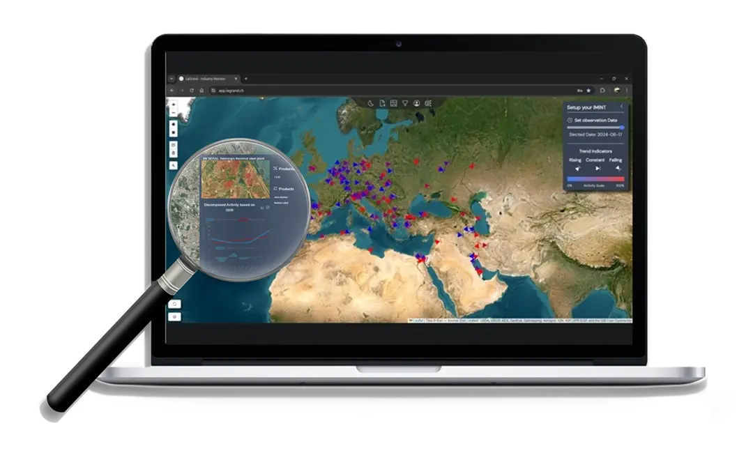
Data Collection from Space
We continuously access high-resolution thermal and optical imagery from leading satellite constellations like Landsat 8/9 and Sentinel-2. Our infrastructure ingests terabytes of raw earth observation data every day, ensuring we capture every relevant signal.